


NHAI to use spatial technology for managing National Highways
Satellite data & geospatial technology will help prove inputs in highway & infrastructure projects for preparation of DPR, prefeasibility status in new alignment, upgrade/road widening, monitoring of roads under construction and Asset Management System.
 3642 Views


The National Highway Authority of India (NHAI) has signed a Memorandum of Understanding with National Remote Sensing Centre (NRSC) under the Indian Space Research Organization (ISRO) and North East Centre for Technology Application and Research (NECTAR) for the use of spatial technology for monitoring and managing National Highways.
NHAI has been entrusted with National Highways Development Project (NHDP), along with other projects for development, maintenance and management of National Highways across the country. For this, it is required to use advanced and multiple technologies to expedite project preparation, monitor construction progress, operation and maintenance and optimal management of its assets.
The use of satellite data and geospatial technology will be useful in providing inputs in highway and infrastructure projects for preparation of DPR, prefeasibility status in new alignment, upgrade/road widening, monitoring of road segments under construction and Road Asset Management System.
The use and benefits of unmanned aerial vehicle technology will be useful in monitoring, construction progress, road asset management, feasibility report and DPR preparation, immediate assessment and remedy of problematic spots, etc.
NHAI will take up some pilot projects with both the organisations to identify and finalise actual use and benefits of both satellite data & geospatial technology and UAV technology in highway and infrastructure sector. A technical cell would also be set up which will run 24x7 to provide relevant project specific data using this technology to project report consultants, engineers, staff and users.
National Remote Sensing Centre (NRSC), a part of ISRO, is the focal point for distribution of remote sensing satellite data products in India. The NRSC supplies satellite data products acquired by Indian Satellites (ISRO) and also by the foreign satellite product companies. North East Centre for Technology Application and Research (NECTAR), Department of Science and Technology uses Unmanned Aerial Vehicles (UAVs) for acquiring aerial images for infrastructure planning.
RELATED ARTICLES
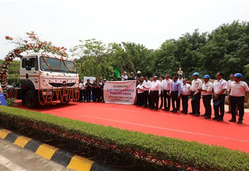
Tata Motors’ Lucknow plant rolls out 900,000th commercial vehicle
 Autocar Pro News Desk
 07 May 2024
Since its inception in 1992, the facility has rolled out cargo and passenger CVs including light, intermediate, medium a...
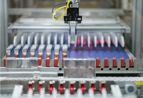
MHI opens technical bids for PLI manufacturing of 10 GWh advanced chemistry cells
Autocar Pro News Desk
06 May 2024
The seven bidders comprise ACME Cleantech Solutions, Amara Raja Advanced Cell Technologies, Anvi Power Industries, JSW N...
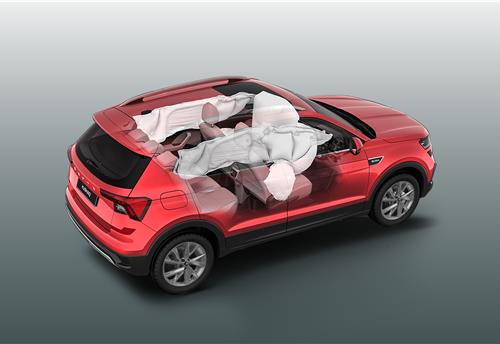
Skoda India makes six airbags standard fitment in Kushaq and Slavia
Autocar Pro News Desk
30 Apr 2024
The introduction of six airbags as standard across the Kushaq SUV and Slavia sedan range furthers the safety quotient in...